Projects

Earthquake Visualization

Posted on

This project, aims to visualize the occasions of earthquakes using the open data set provided by the ZAMG (Zentralanstalt für Meteorologie und Geodynamik engl. Federal meteorological and geophysical service of Austria) (ZAMG). Using the open source library Leaflet, different types of maps are implemented as layers. As a number of earthquakes also happen in the […]

Projects

Interactive Locationmapper

Posted on

The Interactive Locationmapper has been developed for the Open Data Workshop at the UAS Technikum Wien. Austria’s Open Data platform https://www.data.gv.at provides various types of open accessible datasets. Among others there can be found many location specific datasets. Our interactive Locationmapper is able to map those datasets which are available in the formats: WFS GetFeature […]

Projects

Multimodal Information Screen

Posted on
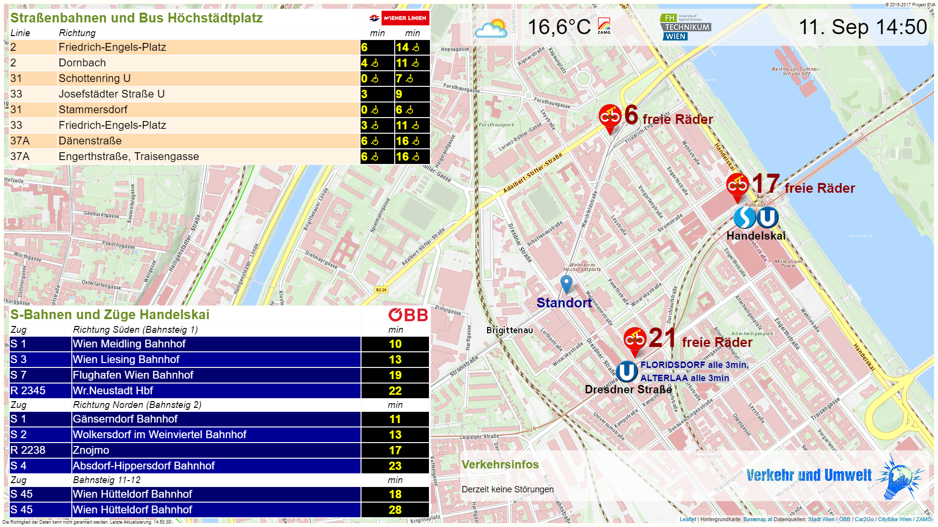
Screenshot of the Multimodal Information Screen for the area of the UAS Technikum Wien at Hoechstaedtplatz

The Multimodal Information Screen of the UAS Technikum Wien informs about a large number of departure times of the location-specific public transport, as well as about the free bicycles of the surrounding city bike stations. In case of disruptions or delays of the Wiener Linien, which affect the stations at the respective location, the corresponding […]